Communities
Independent First Nations Alliance


WHITESAND FIRST NATION
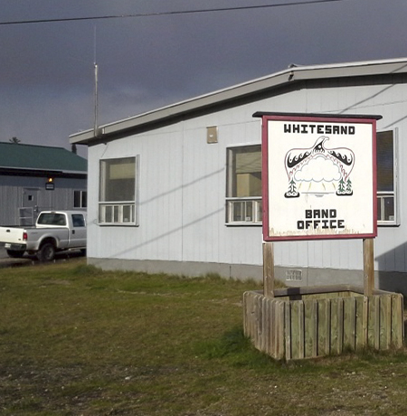
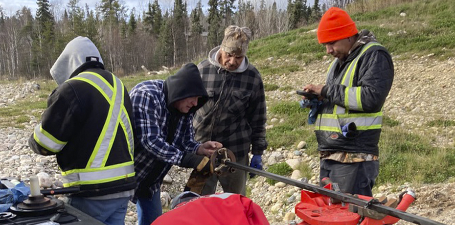
Whitesand First Nation, located approximately 245 kilometers northeast of Thunder Bay and 0.5 kilometres north of Armstrong. The total registered population was 1086 people in 2008, of which their on-reserve population was 311. The total area covered by the reserve is 249 acres.
Leading to its name, Whitesand First Nation was originally located near the Whitesand River.
Whitesand First Nation is situated on the northwest shore of Lake Nipigon close to Mount St. John. Whitesand First Nation is part of the Independent First Nation Alliance and of the Nishinawbe Aski Nation, and it is located within the Robinson Superior Treaty area.
Due to high water levels causing erosion of the shoreline and the flooding of houses in 1942, many Whitesand community members settled along the Canadian National Railway line. A large portion of these settlements took place in Armstrong, Ontario. Therefore, when a new reserve was being negotiated, Whitesand was located immediately north of Armstrong.
The mother tongue of Whitesand is Ojibway, but many of the residents also speak English.
Community Facts
Whitesand First Nation has the following:
- Students do not attend primary school in Whitesand, but rather, attend the local off-reserve school, Armstrong Public School (operated under the Thunder Bay Public School Board);
- After grade 8, students are required to travel to Thunder Bay, but the Board Home Program ensures safe lodging and travel to allow for visiting home on weekends;
- In 1995, Whitesand developed their own post-secondary program;

Directory
Whitesand First Nation
P.O. Box 68
Armstrong, ON P0T 1A0
www.whitesandfirstnation.com
Band Administrator
(807) 583-2177
(807) 345-4441
(807) 583-2671
LAC SEUL FIRST NATION
Lac Seul First Nation is comprised of three communities, located approximately 40-60 kilometres from Sioux Lookout and home to almost 1000 people.
LAC SEUL FIRST NATION
Lac Seul First Nation is comprised of three communities, located approximately 40-60 kilometres from Sioux Lookout and home to almost 1000 people.
Lac Seul is composed of the settlements of Kejick Bay, Whitefish Bay and Frenchmen’s Head.
Lac Seul is an independent First Nation with a local government consisting of one Chief and seven councillors. The Chief is elected from the community at large. Three councillors are elected from Kejick Bay, three councillors from Frenchmen’s Head, and the seventh councillor is elected from Whitefish Bay.
The mother tongue in Lac Seul is Ojibway, but residents also speak English.
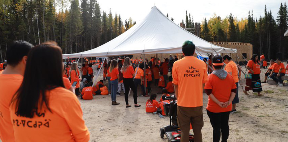
Lac Seul First Nation is a strong, engaged community that is involved in numerous ventures and partnerships. Lac Seul First Nation employs 143 full time employees that significantly increases with seasonal employees.
Community Facts
- Basic electricity, water treatment plant and landfill;
- Telephone services, newspapers and a cable television station;
- School bus service and boat access;
- Arena, community hall, playground, gymnasium, Pow Wow ground (Frenchmen’s Head), recreation trails (Frenchmen’s Head), beaches and baseball fields;
- One school per settlement: Waninitawangaang Memorial School in Kejick Bay, Morris Thomas Memorial School in Whitefish Bay, Obishikokang Elementary School in Frenchmen’s Head.

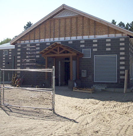
Lac Seul First Nation has a diverse range of economic and community development projects recently completed or in the works. Public Works recently built a new garage for heavy equipment and maintenance. Work on water treatment plants in Whitefish Bay and Kejick Bay has been completed. The community continues to develop housing lots, water lines and roads, as well as operate a housing renovation program.
Directory
Frenchman’s Head: (807) 582-3512
PO Box 100
Hudson, ON P0V 1X0
Kejick Bay: (807) 582-9812
General Delivery
Lac Seul, ON P0V 2A0
Whitefish Bay: (807) 582-3293
General Delivery
Lac Seul, ON P0V 2A0
Frenchman’s Head: (807) 582-3512
Kejick Bay: (807) 582-9812
Whitefish Bay: (807) 582-3293
Housing
(807) 582-3882
Education
(807) 582 3499
Frenchman’s Head Complex
(807) 582-9995
Dora Thomas Memorial Complex
(807) 582-9610
Brian Brisket Memorial Complex
(807) 582-3533
MUSKRAT DAM FIRST NATION
Muskrat Dam First Nation is a located 370 kilometres north of Sioux Lookout, and is home to 413 people.
MUSKRAT DAM FIRST NATION
Muskrat Dam First Nation is a located 370 kilometres north of Sioux Lookout, and is home to 413 people.
Muskrat Dam First Nation sits on a narrow strip of land rising a few feet above the waters of the Severn River.
Historically the traditional lands of Samson Beardy, Muskrat Dam received reserve status in 1976.
Muskrat Dam First Nation is a remote community that is only accessible by air and by winter road. It lies within the boundaries described in the adhesion to the James Bay Treaty of 1905, Treaty 9.
Their mother tongue is Oji-Cree, however, many of their residents speak English as well.
Community Facts
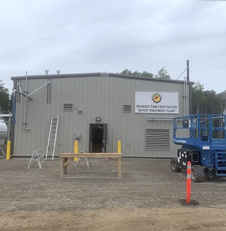
- Power supply through diesel generation, airport, communal water system, water treatment facility, sewage – lagoon, radio station, volunteer fire fighter and landfill;
- 2 police officers;
- Ball field, community centre (band hall), gymnasium (school) and youth centre;
- Samson Beardy Memorial School (junior kindergarten to grade 8) and Wahsa Distance Education Centre (NNEC provides tuition and services for students attending secondary/post-secondary in urban towns and cities).

The people of Muskrat Dam First Nation continue to hunt, fish and trap in their traditional lands. In the winter months trapping, hunting and ice fishing are most common.
Directory
Muskrat Dam First Nation
P.O. Box 140
Muskrat Dam, ON P0V 3B0
Band Administrator
(807) 471-2573
The Nellie Fiddler Memorial Holistic Health Centre:
(807) 471-2531
Tikinagan Child & Family Services:
(807) 471-9966
Tommy Beardy Memorial Treatment Centre:
(807) 471-2554
Education
Sam Beardy Memorial School
(807) 471-2524
KITCHENUHMAYKOOSIB INNINUWUG
Kitchenuhmaykoosib Inninuwug is located approximately 400 km northeast of Sioux Lookout with an on-reserve population of just under 1000 people.

KITCHENUHMAYKOOSIB INNINUWUG
Kitchenuhmaykoosib Inninuwug is located approximately 400 km northeast of Sioux Lookout with an on-reserve population of just under 1000 people.
Kitchenuhmaykoosib Inninuwug is otherwise known as Big Trout Lake First Nation
The mother tongue in Kitchenuhmaykoosib Inninuwug is Ojibway, but Cree and English are also spoken.
The community is a fly-in reservation with regularly schedule flights to Big Trout Lake Airport. During the winter months, the community is accessible by winter road to Pickle Lake which is serviced by Ontario Highway 599, the northern most highway in the province.
Community Facts
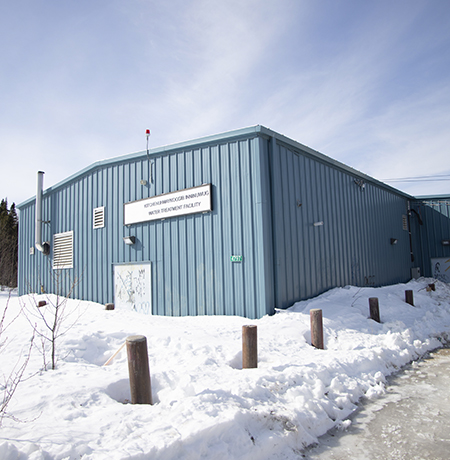
- Basic electricity, water pumping stations, underground running water and sewer pipe systems, sewage – lagoon and waste disposal;

Kitchenuhmaykoosib Inninuwug declared its independence from First Nation organizations in 1991 in order to pursue their own community aspirations and objectives.
Directory
Kitchenuhmaykoosib Inninuwug
PO Box 329
Big Trout Lake, ON P0V 1G0
www.bigtroutlake.firstnation.ca
Band Administrator
(807) 537-2263
(807) 537-2553
Health Office
(807) 537-2265
(807) 537-2347
PIKANGIKUM FIRST NATION
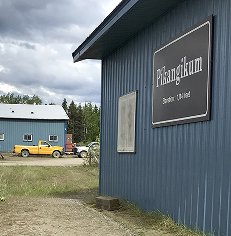
Pikangikum First Nation is located on Pikangikum Lake, approximately 100 km northwest of Red Lake, and is home to over 2,300 community members.
PIKANGIKUM FIRST NATION
Pikangikum First Nation is located on Pikangikum Lake, approximately 100 km northwest of Red Lake, and is home to over 2,300 community members.
Pikangikum is one of the largest First Nation communities, with the highest on-reserve population in Northern Ontario.
From January to the end of March, Pikangikum is accessible by vehicle by way of the winter road. When the road is not operational, it can be accessed through Red Lake using a boat. The community is currently building a controlled access all-weather emergency road. Pikangikum is accessible by air year-round and is approximately 15 minutes by plane from Red Lake.
Community Facts
Pikangikum First Nation has the following:
- Basic electricity (diesel generation), water treatment facility, sewage – lagoon, waste disposal;
- 6-7 Registered Nurses and 1 Visiting Doctor;
- 6 Band Constables, 9 By-Law Officers (Peacekeepers), 6 Solvent Abuse Patrols, 1 Probation Officer and 1 Restorative Justice Worker; Youth Patrol, Restorative Justice and Peacekeepers programs;
- Youth Patrol, Restorative Justice and Peacekeepers programs;
- 67 teachers/staff at Eenchokay Birchstick School K-12 (NNEC provides tuition, living allowance/boarding home for those attending secondary and/or post-secondary in urban towns or cities);
- Canada Post, telephone access, satellite television, Radio-Wawatay, internet, school bus service;
- Arena, recreation trails, beach and boat launches.

“Our strength is our Ojibway way of life. Members of our community have been committed to retaining our Ojibway way of doing things as we adapt to ever changing circumstances in the world around us. This has enabled us to approach our challenges with determination and confidence.”
Directory
Band Office
Pikangikum First Nation
PO Box 323
Pikangikum, ON P0V 2L0
Band Administrator
(807) 773-5578
Education
(807) 773-1093
Health Office
(807) 773-5550
Community Recreation
(807) 773-5578
